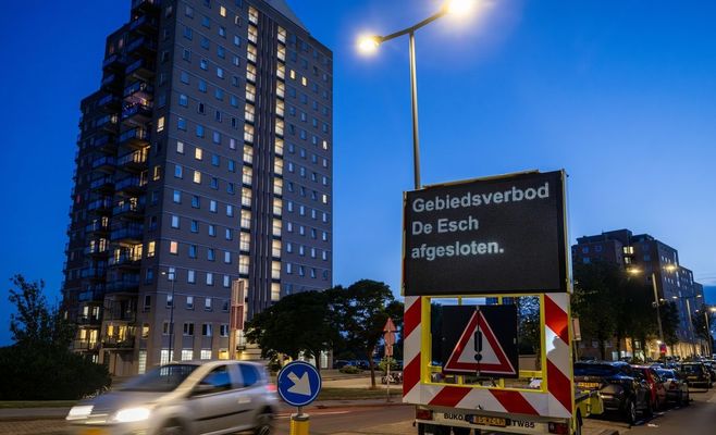
Storms with strong winds and hail sweep across Czechia as a supercell rages over Bavaria
USD 21,08
Popular
On Friday evening, a series of powerful thunderstorms with gusty winds and hail swept across Czechia, while a formidable supercell storm developed over neighbouring Bavaria, threatening to clip parts of the Šumava and Novohradské Mountains.
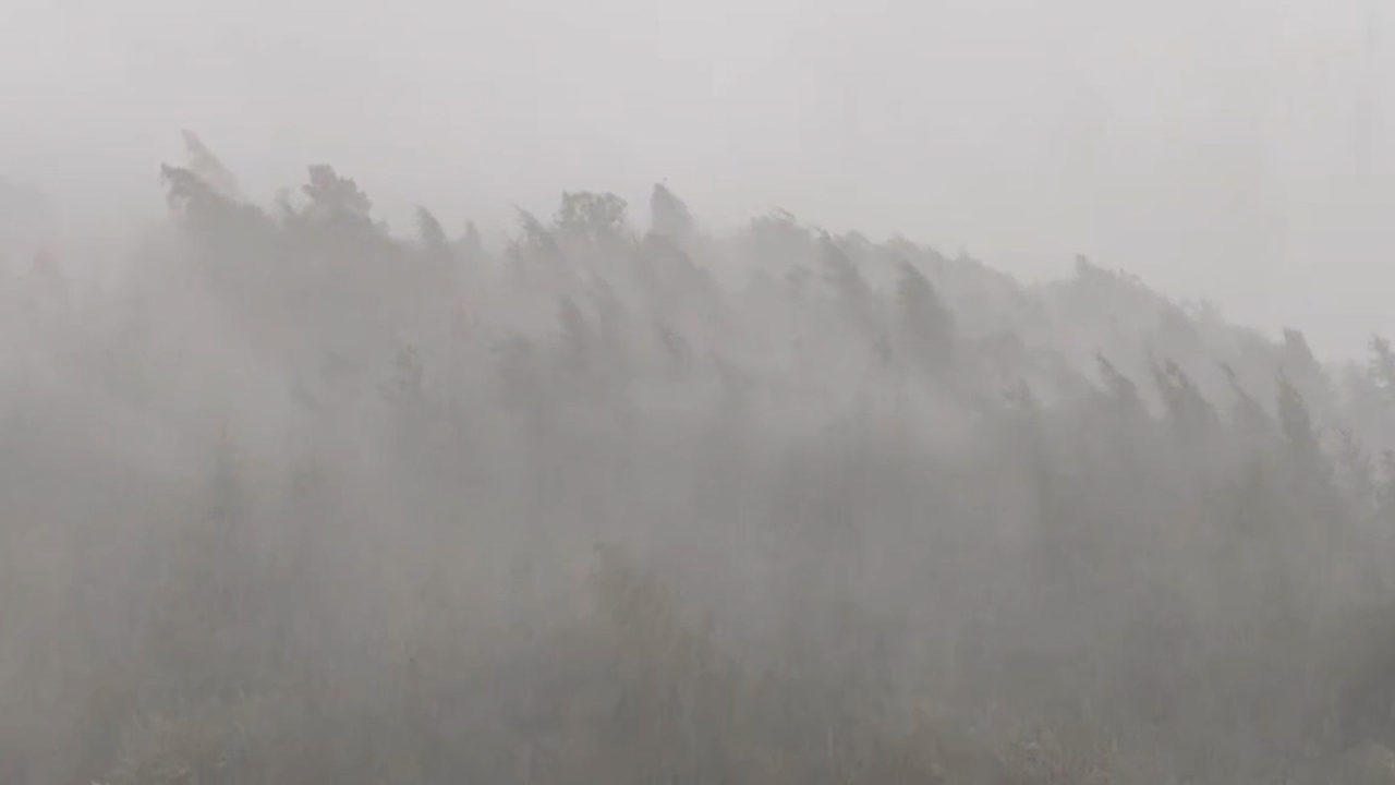
According to the Czech Hydrometeorological Institute (CHMI), the first intense storm cells formed shortly after 5 p.m. along a convergence line of surface air currents over Czechia. Strong winds aloft pushed the storms eastward at a fairly brisk pace, with damaging gusts and small hail posing the main danger.
The institute noted on social media that the notably dry air near the surface meant even relatively weak storm cells were capable of producing gusts strong enough to topple trees — something observed, for instance, in a weakening storm near Svitavy.
The most intense, still largely isolated storm cells tracked along the country's northwestern border in the Ústí nad Labem Region. Another hail-bearing storm passed south and southeast of Prague, near Ondřejov, shortly before 7 p.m.
Meanwhile, a pronounced supercell storm took shape over Bavaria, which forecasters say could reach into Czech territory later in the evening, affecting the Šumava and Novohradské Mountains.
The CHMI has issued a warning for severe thunderstorms with dangerous accompanying phenomena across the western and northwestern half of Czechia, valid until 2 a.m. Saturday.
Meteorologists also explained what exactly a supercell is: a distinct type of storm featuring a single, dominant, rotating updraft. Such storms are characterised by a so-called mesocyclone — a region rotating around its own vertical axis. Within the mesocyclone, a distinctive cloud lowering known as a wall cloud can form, from which, in some cases, a tornado may develop.
Source: novinky.cz