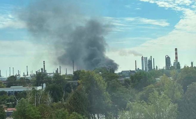
Severe storms bearing down on Czechia: eastern regions face gusts of up to 90 km/h
USD 21,04
Popular
Severe storms are sweeping across Czechia on Friday. According to the Czech Hydrometeorological Institute (ČHMÚ), the greatest risk lies in the east of the country, particularly along the border between Bohemia and Moravia. The first isolated storms developed in the morning around the Krkonoše mountains, but the main activity is expected to build in the afternoon as a cold front moves in.
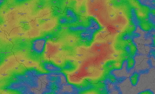
Forecasters expect storm cells to start forming during the day along a so-called convergence line — a zone where two air masses collide, forcing air upward and triggering heavy rain and thunderstorms. The exact position of this line has not yet been pinned down, but most models point to eastern Bohemia and the Vysočina region as the likely starting point, with storms potentially merging into larger systems that then push into Moravia and Silesia.
The main danger will come from strong wind gusts, which in some areas could reach around 90 km/h. Thanks to high atmospheric energy and strong vertical wind shear, the storm systems are expected to be highly dynamic. Heavy downpours with up to 50 millimetres of rainfall are also expected, and in some cases an isolated supercell producing hail over two centimetres in diameter cannot be ruled out.
Storms are also possible in the western half of the country, mainly in the evening, as systems arrive from the direction of Bavaria. However, forecasts suggest storm activity in western Bohemia will be noticeably weaker than in the east. For comparison, storms that hit southwestern Germany on Thursday evening and overnight into Friday killed one person and left several others injured.
ČHMÚ meteorologists issued a warning for severe storms across the whole of Czechia as early as Thursday, noting that the warning may be updated throughout Friday depending on how conditions develop.
Experts point out that the key indicator for assessing storm risk is the CAPE parameter, which reflects the amount of energy available to fuel rising air currents: values above 1000 J/kg already indicate the potential for severe storms. Vertical wind shear is equally important — when it exceeds 15 m/s alongside high CAPE values, the risk of supercells forming increases, meaning isolated storms with a single dominant rotating updraft.