Nor’easter Threatens East Coast With Flooding, High Surf and Wind This Week
USD 21,68
Popular
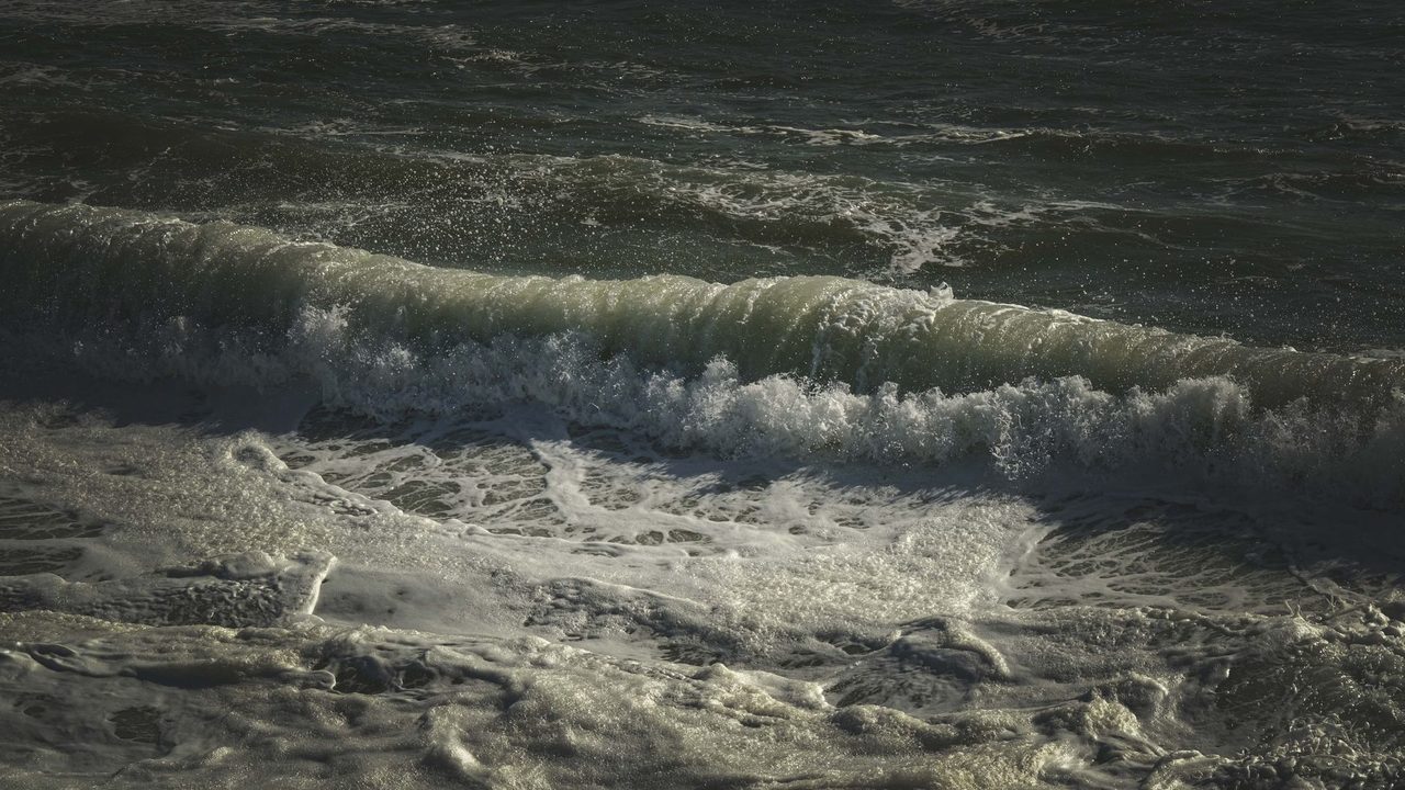
A nor’easter spinning off the Atlantic coast is expected to bring coastal flooding, high surf, rip currents and gusty winds to parts of the East Coast for several days, according to The Weather Channel, FOX Weather and NBC News. The worst conditions are forecast from North Carolina's Outer Banks to the Delmarva Peninsula, where a mandatory evacuation is in effect on Hatteras Island.
The National Hurricane Center is watching the system for possible development, which would give it the name Josephine. Forecasters say the impacts on the coast will be much the same either way.
Where will the storm hit hardest?
The Weather Channel said the area likely to be affected longest runs from the Delmarva Peninsula to eastern North Carolina. FOX Weather said the worst flooding will stretch from the Outer Banks into Chesapeake Bay and up to Ocean City, Maryland, where water levels are expected to rise more than two feet above normal at high tide.
Effects are expected to reach beyond that core zone. The Weather Channel said high surf, coastal flooding and rip currents could extend as far south as Florida's Atlantic beaches and as far north as New England. NBC News said rain and coastal flooding are expected on Cape Cod and Nantucket in the coming days, with rough surf and rip currents arriving there by Thursday.
How high could the water and waves get?
Forecasts vary by location. The Weather Channel said coastal flood alerts are in effect for parts of North Carolina, where 1 to 4 feet of inundation is possible and waves could reach 14 feet. Along parts of the Virginia, Maryland, Delaware and New Jersey coasts, it said inundation of up to a foot and waves up to 12 feet are possible. River gauges from North Carolina to Maryland could rise to moderate flood stage, the outlet said.
NBC News reported flood advisories from the Jersey Shore to the Outer Banks for 1-2 feet of inundation caused by onshore winds. FOX Weather said the highest waves and greatest flood risk come during afternoon and evening high tides, between 3 and 7 p.m. depending on the location.
How strong will the winds be?
The Outer Banks are expected to see the worst of the wind and rain, according to The Weather Channel, which said wind advisories call for gusts up to 40 mph. Those gusts could knock down power lines and delay travel. FOX Weather said the main concern there is prolonged gusts over 40 mph.
NBC News listed forecast winds of 44 mph in Nantucket, 39 mph at Cape Hatteras and 32 mph in Virginia Beach.
Will it bring heavy rain?
Reports differ in emphasis. NBC News said the storm could bring several days of heavy rain but added that the heaviest rain should stay offshore. The Weather Channel said the system should not be a big rainmaker, with off-and-on coastal showers likely through the week.
Could it become Josephine?
FOX Weather said the hurricane center has labeled the storm Invest 93L, which means it could take on subtropical or tropical traits and that forecasters will use extra tools to track it. NBC News reported a 40% chance of formation in two days and 40% in seven days. If it becomes a tropical storm, NBC said, it would strengthen as it moves east and away from the coast.
What does this mean for people on the coast?
For residents and visitors from North Carolina to the Delmarva Peninsula, the main effects are expected to be wind, coastal flooding at high tide and dangerous surf. FOX Weather reported that parts of North Carolina Highway 12, the main route through the Outer Banks, are closed because of flooding. The road is frequently overwashed during coastal storms.
The Weather Channel said significant beach erosion is expected along the East Coast this week. FOX Weather noted that the Cape Hatteras area has been battling erosion for decades, with 32 homes collapsing into the ocean since 2020. The evacuation on Hatteras Island was ordered because of the potential for significant ocean overwash.
The Weather Channel advised beachgoers to obey red flags warning of rip currents and to stay out of the surf zone if in doubt. It said this storm is not expected to be as strong as the late September nor'easter.
When will conditions improve?
FOX Weather's forecast center said the worst impacts should last through late Wednesday evening and into Thursday. The Weather Channel said the low is expected to drift north well offshore and be off the Massachusetts coast by Thursday. A cold front should then carry it out to sea from Thursday into Friday.
Computer models still disagree on exactly when the low will pull away from the coast, the outlet said, but conditions are expected to improve in the second half of the week.
Sources: The Weather Channel, FOX Weather, NBC News