Czech Republic
Easy hike from Obří hrad to Kašperské Hory in Šumava, Czechia
Prague
10°
Cloudy
Exchange rate
EUR 24,33
USD 21,62
USD 21,62
Petrol / Diesel45,45 · 47,67 Kč
Popular
- today at 06:20
- News
- Czech Republic
Jílové u Prahy: the royal town that grew on gold
- today at 05:50
- News
- Czech Republic
Easy hiking route from Obří hrad to Kašperské Hory
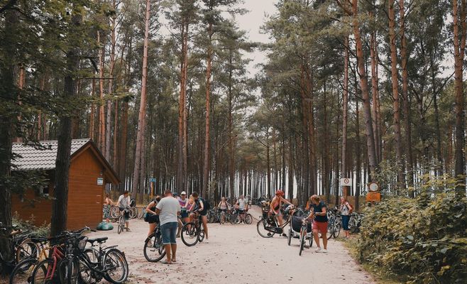
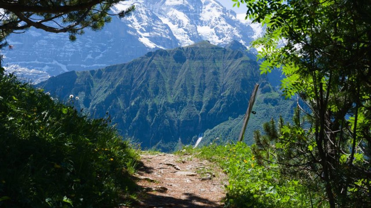
A low-difficulty hiking route has been described in Šumava, running from the Obří Kámen hillfort near Obří hrad to Kašperské Hory. It follows the yellow and blue trail markings and returns to the starting town, according to the route description on a hiking portal.
The path first follows the yellow marking downhill to Popelná, and then continues along it to the “Pod Milovským vrchem” signpost. From there the route turns onto the blue marking and follows the Klostermann trail past the memorial to the vanished village of Milov. It ends in Kašperské Hory.
GPS coordinates of the route point: 49.092, 13.594.
Source: turistika.cz