Cold health alerts return to northern England after minus 7.2C night
USD 22,10
Popular
The UK Health Security Agency (UKHSA) is bringing in a second round of yellow cold health alerts for the north-east and north-west of England and Yorkshire and the Humber. According to the BBC, they take effect at 21:00 GMT on Sunday and last until 09:00 GMT on Thursday.
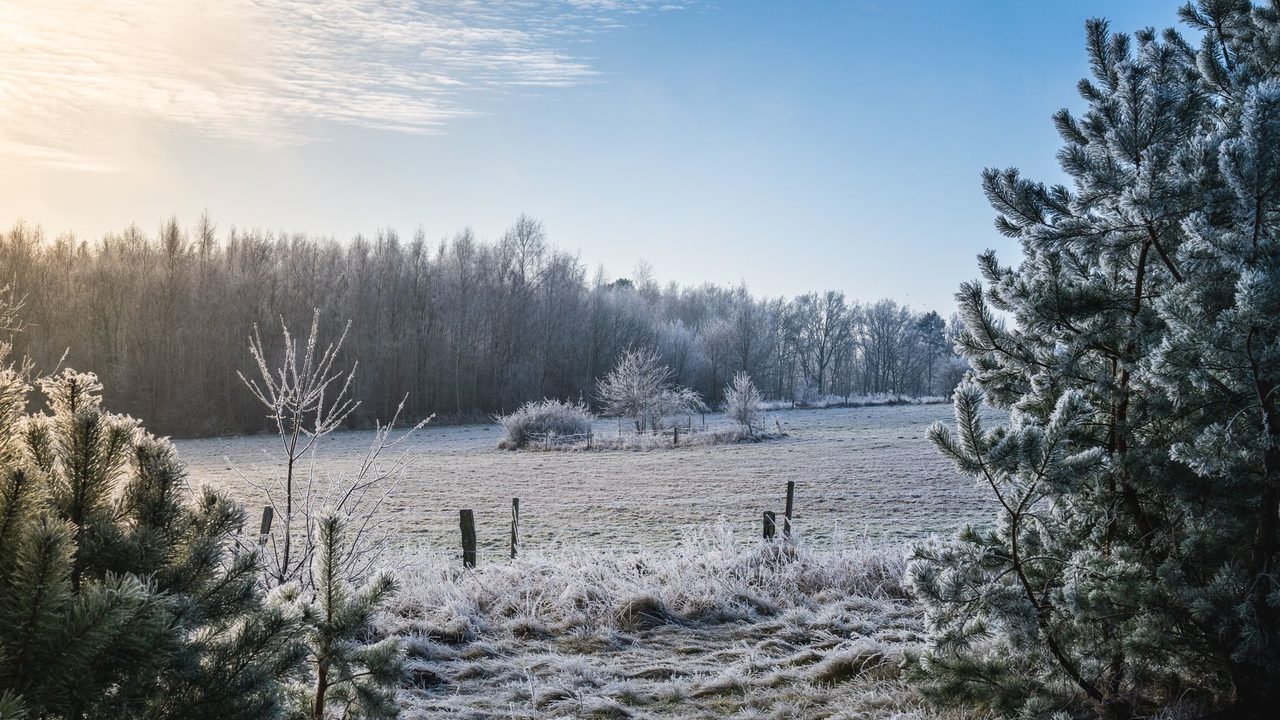
They follow the coldest morning of the autumn so far. The BBC reported that temperatures fell as low as minus 7.2C at South Newington in Oxfordshire early on Saturday.
A brief mild spell on Sunday
Most places should wake to milder, frost-free weather on Sunday, with temperatures around 2 to 6C. The coldest spots in central and eastern England may still dip close to freezing, the BBC said.
Weather fronts moving in from the west will bring showery rain eastwards across much of the UK. The heaviest rain early on is expected in Scotland, Northern Ireland and south-western parts of England and Wales. By midday the rain should be widespread, with a chance of thundery downpours in the south, and hail and thunderstorms possible in parts of Wales and southern England.
The BBC warned of some disruption from bursts of heavy rain. Brisk winds and rain will bring leaves down, which could block drains and cause localised flooding.
The Evening Standard quoted the Met Office as saying rain would be most persistent across northern Scotland on Sunday, with a growing chance of snow later in the day, mainly over high ground where accumulations are likely. Some snow could fall at lower levels, and ice may become a hazard.
What the cold alerts mean
A yellow alert means a greater risk to the life of vulnerable people and increased use of healthcare services, the UKHSA said, according to the Mirror. Paul Coleman, a consultant in public health at the agency, said cold weather can seriously affect some people, including those aged 65 and over and those with existing health conditions.
He urged people to check on friends, family and neighbours who are most vulnerable. He also advised people to heat the rooms they use most, such as the living room or bedroom, and to dress warmly. He said more cold-health alerts can be expected as winter goes on.
The new alerts are the second of the season. The first, covering the North West and West Midlands, came into force at 9am on Thursday and was due to run until noon on Saturday, the Evening Standard reported.
Why it matters: the week ahead
As low pressure clears eastwards on Monday, rain and wind should ease, but colder air will return from the north, bringing frost and fog. The BBC said afternoon temperatures should be around 5 to 8C for most of the UK, with a noticeable wind chill near eastern coasts. The far south-west of England may reach 12C.
Monday night is expected to be wet and windy, with gales likely around western coasts. The BBC said the rain could be preceded by sleet and snow over high ground, including Snowdonia, parts of the Pennines and the Highlands, but that it will be too mild for wintry weather elsewhere. The Mirror, by contrast, reported snow across wide areas of the UK on Monday and Tuesday, so forecasts differ on how far snow will reach.
The BBC described the rest of the week as a temperature rollercoaster, with alternating mild and cold spells. Readings from earlier in the week also differ by source: the Evening Standard reported minus 6.6C at Sennybridge, near Brecon, on Thursday night, before Saturday's lower figure.
Looking further ahead, the Met Office's forecast for 28 November to 12 December suggests a blocked weather pattern could develop, which raises the chance of colder conditions overall, with hazards such as snow and ice, the Evening Standard reported.
Read next
UK Issues First Cold-Health Alerts as Temperatures Dip Below Freezing
Cold Showers Linked to 31 Percent Fewer Sick Days in Swiss Study
UK Bonfire Night Forecast: Dry but Chilly, Much Colder Than 2025
Around Prague, based on reporting by Evening Standard, Mirror, BBC News