What Florida's Coastal Flooding Means for Residents and Thanksgiving Travelers
USD 22,23
Popular
Floodwater closed roads, stranded vehicles and entered homes in southeast Florida on Tuesday night, CNN reported, as the first stretch of a multiday flood threat began along the state's Atlantic coast. More heavy rain is forecast through Friday, and the storm that follows could affect travel on the East Coast ahead of Thanksgiving.
What happened in Broward County
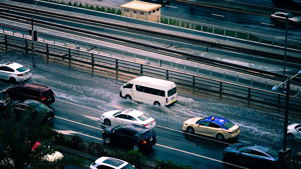
The worst flooding on Tuesday evening hit Hollywood and other parts of Broward County, in the northern Miami area. According to CNN, more than a foot of rain fell over several hours near Hollywood, which the network said is more than three Novembers' worth of rain. The National Weather Service in Miami reported rainfall rates of 5 to 8 inches per hour just northwest of the city.
The city government said high water closed roads, including parts of Interstate 95 and Florida's Turnpike. Dozens of vehicles were reported stalled or abandoned, and water got into some homes. CNN said it had asked Broward County officials for more information.
Where the threat moves next
More flash flooding is possible in southeast Florida over the next few days. But CNN reported that the area of greatest concern is shifting north to the Space Coast, which was hit by historic rainfall and severe flooding earlier this month. Some rivers there remain high and are vulnerable to new flooding.
Eastern Florida faces three straight days of a Level 3 out of 4 flood risk through Friday. Forecasters expect a widespread 3 to 6 inches of rain along the east coast, with 8 to 12 inches or more possible in some places. CNN noted that a foot of rain in a place like Daytona Beach would equal four Novembers' worth in a few days. Pinpointing which communities get the highest totals is difficult, because it depends on where storms form and stall for hours.
Melbourne is in the highest flood threat area on Wednesday and Thursday. The city had its rainiest day on record on Nov. 2, when 11.5 inches fell. CNN said it is around 8 inches short of its rainiest year on record, a mark this week's storm could pass.
On Friday, the Level 3 risk extends north to near the Florida-Georgia state line. Rainfall rates greater than 2 inches an hour are possible there, which could add to totals from the previous two days.
Why it matters: what this means for residents and holiday travelers
For people along Florida's east coast, the main concern is repeated flooding of roads and homes, including in areas still recovering from earlier this month. Onshore winds and high surf will also bring dangerous rip currents and possibly major beach erosion in the coming days, according to CNN.
For travelers, the effect depends on the storm's path, which forecast models have not settled. CNN said the weekend before Thanksgiving was one of the busiest travel periods of the holiday week last year, according to TSA screening data. Some models push the storm toward the Southeast coast and up into New England with rain and wind. That track could cause airport delays and hazardous driving, possibly including on parts of Interstate 95. Other models keep the system farther offshore over the Atlantic, which would limit coastal impacts.
What happens next
The system is expected to emerge as a coastal storm by Friday and linger off the Southeast coast until Saturday, when it begins moving north. Any effect on early Thanksgiving travel this weekend into early next week will depend on its track.
CNN also noted that wetter-than-normal conditions are expected in Florida this fall and winter as a strengthening super El Niño changes weather patterns and raises storm chances across the Southeast. The network added that extreme rainfall is becoming more frequent as the world warms, because a warmer atmosphere can hold more moisture.
Around Prague, based on reporting by CNN