Hurricane Trudy Nears Mexico's Pacific Coast With Flood and Landslide Risk
USD 21,62
Popular
Hurricane Trudy is closing in on the southwestern and west-central Pacific coast of Mexico, and the main danger for residents is heavy rain on ground already soaked by earlier storms. Forecasters say the hurricane could still gain strength before it begins to weaken on Sunday, according to Al Jazeera.
A hurricane warning covers the stretch of coast from Manzanillo in Colima state to Cabo Corrientes in Jalisco, the U.S. National Hurricane Center said, as reported by The Associated Press and Al Jazeera.
Where Trudy is and where it is heading
On Saturday morning, Trudy was a Category 1 hurricane with maximum sustained winds of 90 mph (150 kph), AP reported. The hurricane center placed it about 255 miles (410 kilometers) west of Acapulco in Guerrero state and about 190 miles (305 kilometers) south-southeast of Manzanillo. It was moving northwest at 8 mph (13 kph).
The center of the storm is expected to approach the coast on Saturday and pass near it overnight into Sunday. According to Al Jazeera, citing the hurricane center, hurricane conditions are expected in the warning area on Saturday night. Tropical storm conditions are due to spread across the region during the day, and hurricane conditions are also possible in areas under a hurricane watch.
Rain, surf and storm surge
Through the weekend, Trudy is forecast to drop 4 to 8 inches (10 to 20 cm) of rain on parts of Michoacan, Colima and Jalisco, with isolated totals of about 15 inches (38 cm), according to the hurricane center. The center said this raises the risk of life-threatening flooding and landslides, especially in steep terrain.
Outer rain bands could bring two to four inches of rain to Guerrero and Nayarit, with isolated amounts of approximately 15cm (six inches). Localized flash flooding is possible there, the center said.
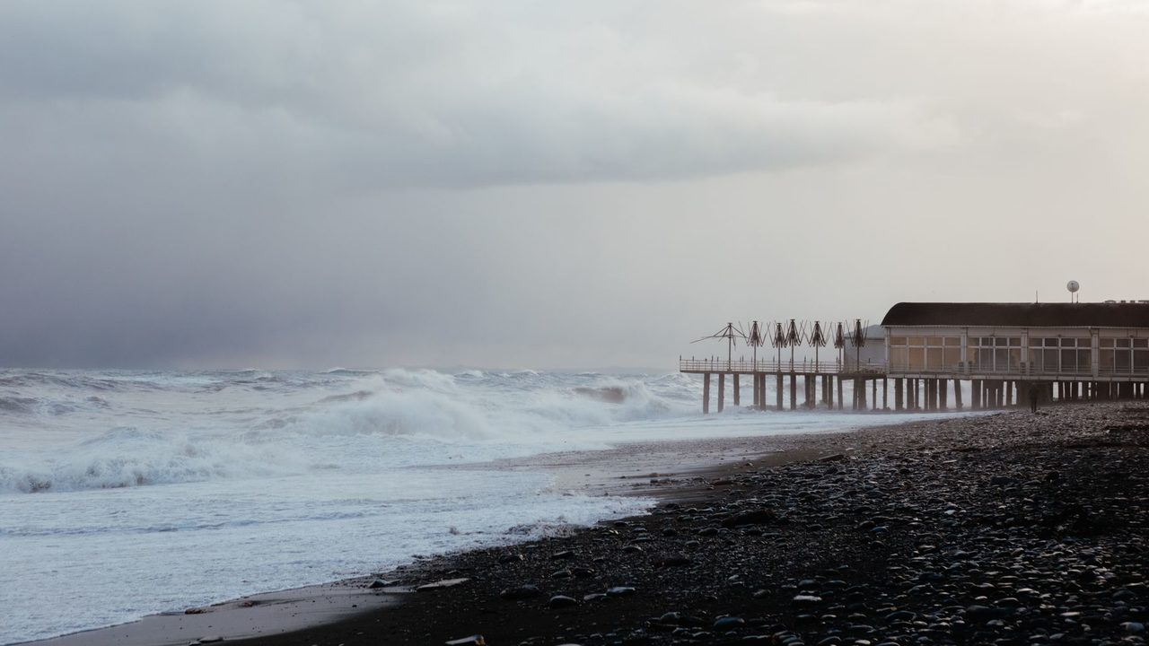
The center also warned of possible coastal flooding from storm surge where winds blow onshore, along with large and destructive waves. Swells from Trudy are already reaching parts of the southwestern coast and are expected to move north along the west-central coast over the weekend, creating dangerous surf and rip currents.
What the authorities are saying
The Mexican navy urged mariners and coastal residents to be extremely careful because of high waves, heavy rain and the risk of rising rivers, flooding and landslides in vulnerable areas.
Colima state said the risks are currently low. It added, however, that the storm could bring substantial rainfall that could do damage because the ground is saturated after successive storms along the Pacific coast.
What this means for people on Mexico's Pacific coast
For residents of Colima, Jalisco and Michoacan, the biggest concern is water rather than wind. Rain on already wet ground raises the chance of flooding and landslides, particularly on steep slopes and near rivers, according to the forecasts and warnings cited by AP and Al Jazeera.
People along the shore and at sea face a separate hazard from large waves, rip currents and possible storm surge. These conditions can develop ahead of the storm's center, since swells from Trudy are already affecting parts of the southwestern coast.
In Guerrero and Nayarit, which are expected to see only the outer rain bands, local flash flooding is still possible.
What to watch next
The storm's center is forecast to approach the coast on Saturday and pass near it into Sunday. Forecasters expect Trudy to begin weakening on Sunday, Al Jazeera reported. Rain is expected to continue across the region through the weekend.
Sources: ABC News, Al Jazeera