Satellite images reveal scale of destruction in eastern Ukraine after years of war
USD 21,74
Popular
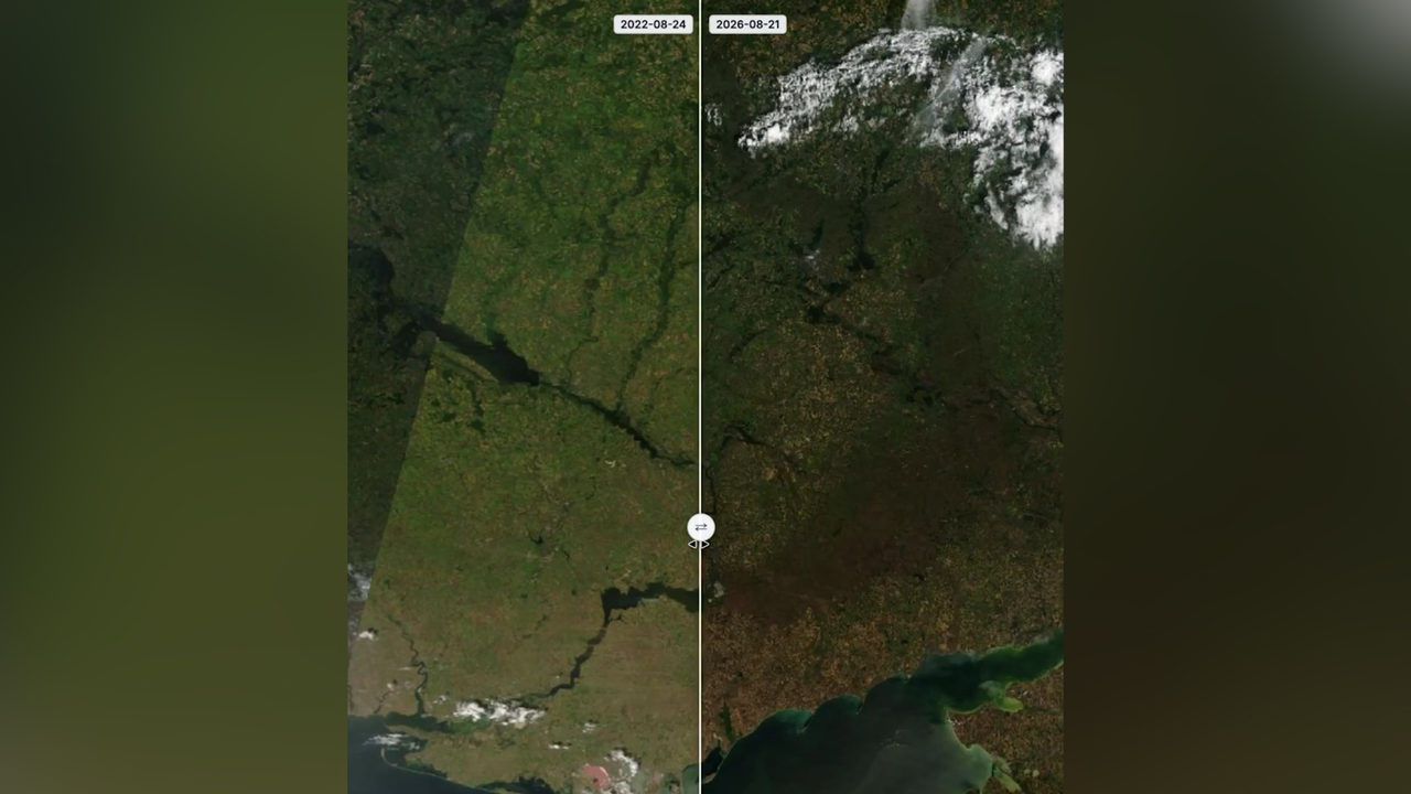
A video comparing satellite images of the same area in eastern Ukraine, taken on 24 August 2022 and 21 August 2026, has been circulating online. According to the Unian news agency, the difference between the two shots clearly shows how far the front line has expanded and how much territory has been consumed by destruction in the intervening years.
The images clearly show the boundary along which fighting between Ukrainian defenders and Russian occupying forces continues. According to the agency, the land along the front line is "completely scorched," and the towns, villages and homes where ordinary life was still bustling just a few years ago have been reduced to ruins.
Reaction to the footage
The satellite images were published by the Telegram channel Exilenova+, which noted that behind these pictures lie tens of thousands of shattered lives. "The punishment must be such that not a single Russian occupier who came here will ever again think they can get away with it," the channel wrote in its comment on the post.
Timeline of the conflict
Russia began its war against Ukraine back in 2014, when it annexed Ukraine's Crimean peninsula and ignited the conflict in Donbas. Eight years later, in 2022, this escalated into a full-scale invasion of Ukrainian territory. What was originally planned as a three-day operation has turned into a war that has now dragged on for more than four and a half years.
Source: novinky.cz