Scientists Flooded Los Santos From Grand Theft Auto to Show Rising Seas’ Toll
USD 22,22
Popular
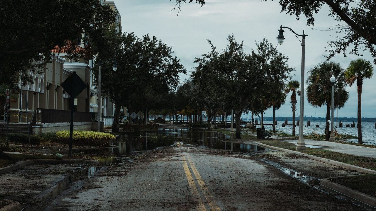
Researchers in Germany have put a virtual version of Los Angeles underwater to make a point about climate change. Timed to the launch week of Grand Theft Auto VI, the study simulates coastal flooding in Los Santos, the fictional city from Grand Theft Auto V, according to ScienceAlert.
The team argues that the lifelike landscapes of modern open-world games can help people grasp what sea level rise and storm surges could do to a coastline. Their work was published in the journal Geoscience Communication.
How the researchers flooded a video game city
Geoscientists Paul Nörenberg and Hugues Lantuit of the University of Potsdam rebuilt the terrain of Los Santos using 3D modeling. The game city is closely modeled on Los Angeles, which is what makes it useful for the exercise.
They then exposed the coastal parts of the city to two scenarios from the Intergovernmental Panel on Climate Change. RCP 2.6 represents strong cuts in emissions, while RCP 8.5 represents very high emissions. The researchers fast-forwarded the simulation to show how far water would reach from rising seas, adding extreme storm surges based on historical tide-gauge measurements from Los Angeles.
The paper’s central claim is about communication rather than the game itself. As the authors put it, once the virtual landscapes players inhabit faithfully represent physical environments, those places can become teaching tools in their own right.
What the simulated floods showed
In both scenarios Los Santos loses land to coastal flooding, but the two futures look very different.
- RCP 2.6 (strong emission cuts): 2.2 percent of the city’s land area is flooded in 2300 during a storm surge, and no major infrastructure is affected.
- RCP 8.5 (very high emissions), 2300: 5.1 percent of the city is flooded. Sea level rise and extreme coastal water levels combine to reach 5.18 meters (17 feet).
- RCP 8.5, 2500: the combined water level could reach as high as 8.22 meters, flooding 6.5 percent of the city and putting the port, wastewater systems and coastal energy facilities at risk.
ScienceAlert noted that these are upper-end projections built on simplified flood models. They are not forecasts of exactly where or how much flooding will occur.
Why a fictional city can say something about a real one
Los Santos is not real, but Los Angeles is. To test whether the game world is a fair stand-in, the researchers compared their Los Santos results with existing flood models of Los Angeles and found remarkably similar patterns of flooding, ScienceAlert reported.
From that match, the authors concluded that the game’s terrain is faithful enough to real-world coastal shapes to be scientifically meaningful for first-order coastal flood communication. In plain terms, it is accurate enough to give a rough, first-pass picture of the risk, though not detailed enough for engineering or planning decisions.
Why it matters: a new way to show climate risk
The practical argument is about reaching people. Many readers have walked or driven through game cities for hundreds of hours, and the researchers suggest that familiarity may make flood maps feel less abstract. They write that the question is not only what will flood, but whether the medium used to communicate the risk matters to the people who need to hear it.
The authors say that for the generation that grew up in Los Santos, it does. For people who follow coastal planning, insurance or climate policy, the study offers one concrete example of how researchers are trying to turn dry projections into scenes people recognize.
The timing was deliberate. ScienceAlert described Grand Theft Auto VI as a game built by a team of nearly 5,000 people over more than a decade, with a huge fanbase waiting for its release. The researchers used that attention to promote their own, very different release.
What the study does not claim
The work does not predict that Los Angeles will lose a specific share of its land. It applies established climate scenarios to a game map and checks the result against existing models of the real city. The differences between the two emissions scenarios, from 2.2 percent to 6.5 percent of the city’s land area flooded in the figures reported, are the main takeaway.
Around Prague, based on reporting by ScienceAlert